


“Let me, on this occasion, use the good character of the human spirit and take you to a wonderful region of Serbia where I often and gladly spend time studying nature, in which I always have something new to see or to admire , which I never left without wanting to regain it again, and that is – Kopaonik and his foothill. “ Josif Pančić
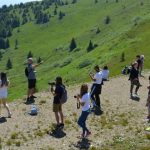
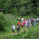
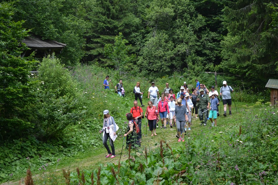
The walking tours on Kopaonik are organized by the management services of the National Park Kopaonik, Kraljevi Čardaci SPA, MK Mountain Resort and PSD Kopaonik.
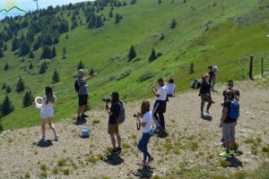
NP Kopaonik hiking trails

The guiding service of NP Kopaonik organizes tours with a guide.
Groups with the NP Kopaonik Guide go at 10 am and the gathering is in front of the administrative building of NP Kopaonik (next to Konak).
Guide services are charged daily as well as additional insurance per person per day.
For a walking tour of the Heaven chair, a cable car to the Pančić peak is charged additionally per person (the price of the tram ride).
Kraljevi Čardaci Spa hiking trck: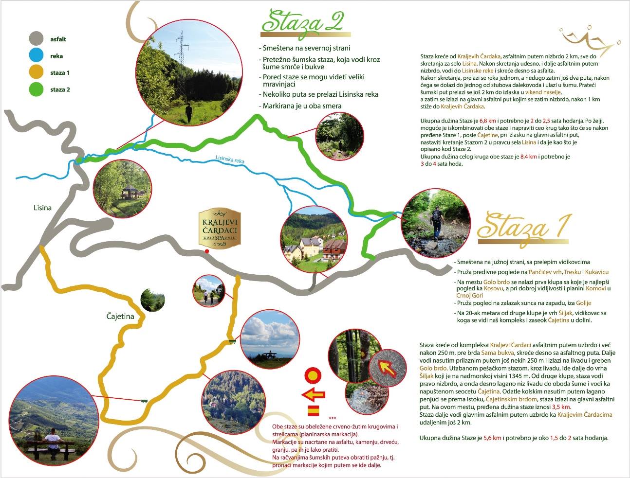
Kraljevi Čardaci – TRACK 1
- Located on the south side, with beautiful views
- Provides wonderful views of Pančićev vrh, Tresk and Kukavica
- At the site Golo brdo there is the first bench with the most beautiful view towards Kosovo, and with good visibility and mountain Komovi in Montenegro
- It provides a view of the sunset in the west, behind Golia
- At 20 meters from the second bench is the top Šiljak, a viewing point from which our complex and the hamlet of Čajetina in the valley can be seen.
The track moves from the Kraljevi Čardaci complex along the asphalt road uphill, and after 250 m, before the Beech Hill hill, turns right from the asphalt road. Further leads along the access road another 250 m and exits to meadow and ridge Golo brdo.
In a hiking trail, through the meadow, goes further to the top Šiljak, which is at an altitude of 1345 m. From the second bench, the trail leads straight downhill, and then right down the meadow down to the edge of the forest and leads to the abandoned village of Cajetin. From here by the kolicki nasutim by slowly climbing towards the east, Cajetina brda, the path leads to the main asphalt road.
At this point, the distance traveled is 3.5 km. The trail continues along the main asphalt road uphill to the Royal Čardak, another 2 km away.
The total length of the track is 5.6 km and takes about 1.5 to 2 hours of walking.
Kraljevi Čardaci – STAGE 2
- Located on the north side
- Mostly forest path, which leads through the forests of spruce and beech
- Along the path you can see the big ants
- Several times it passes Lisinska Reka
- It is marked in both directions
The trail runs from Kraljevi Čardak, asphalt road downhill 2 km, all the way to the turn for the village Lisina.
After turning right, still asphalt downhill, leads to Lisinska river and turns right from the asphalt.
After turning, the river crosses once, and then two more times, then one of the pistes of the transmission line and enters the forest. Followed by a forest road, it is 2 km away until a weekend resort, then goes to the main asphalt road, which then descends, after 1 km to Kraljevi Čardak.
The total length of the track is 6.8 km and takes 2 to 2.5 hours of walking.
Optionally, it is possible to combine both paths and make the entire round so that after Passage 1, after Čajetina crossed, when heading onto the main asphalt road, proceed with Path 2 in the direction of Lisina village and further as described in Route 2. Total The length of the entire circle of both tracks is 8.4 km and takes 3 to 4 hours of walking.
*** Both tracks are marked with red-yellow circles and arrows (hiking mark). Markings are drawn on asphalt, stones, trees, branches, and are easy to follow. At the crossroads of the forest roads pay attention, i.e. find the markings by which way it goes on.
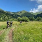
Kraljevi Čardaci Barska Reka TRAIL
This tourist and recreational path, jointly maintained by Kopaonik National Park and Hotel Kraljevi Čardac SPA, is medium in length and length about 10 kilometers, and it can be accelerated in about 5-6 hours of walking.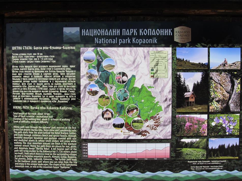
The starting point is from the split behind the Hotel Kraljevi Čardaci SPA and passes through the reserves of the National Park of the first degree protection BBarska reka, Kozje stene i Samokovska reka.
The hiking trail leads through the beech and spruce forests and then through the beautiful mountain pastures and meadows with rare and medicinal plants in which the smell will be enjoyed by tourists as well as in clear mountain streams that refresh with freshness and in the hottest summer period.
Along the path there are places for rest, picnic and mountain house “Barska Reka” and a bit harder part of the path will bring visitors to the Kukavica visa (1726mnv), from which there is a view of the surrounding villages as well as mountain massifs Durmitor, Komove, Goliju, Rogoznu, Šar planinu, Željin, Jadovnik, Čemerno…
- Jelovarnik
- Metoja
- Samokovska river
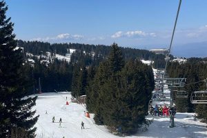
- Heavenly chairs
Information about walking tours Kraljevi čardaci SPA: +381 36 428 673 – more HERE
MK Mountain Resort walking tours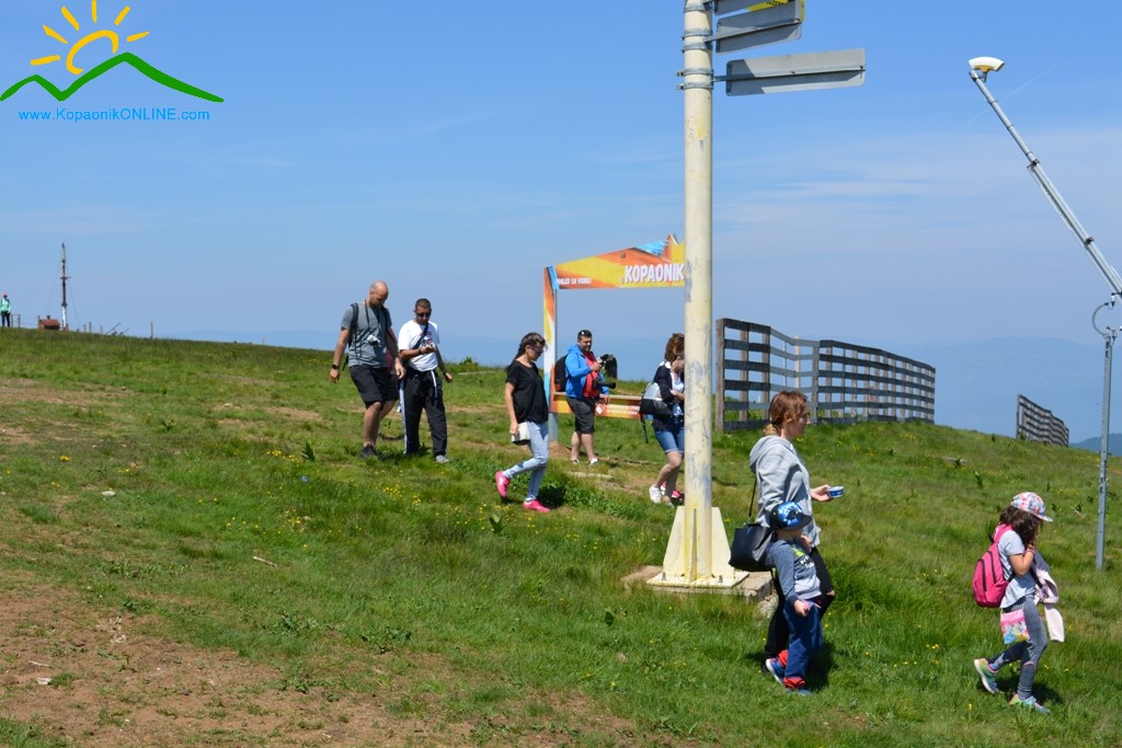
MK Mountain Resort walking tour is a perfect way to get to know the most valuable natural rarities of the National Park Kopaonik. All directions of movement are carefully selected, and the routes have mild climbs.
MK Mountain Resort hiking tours: +381 36 54 71 977 more HERE
PSD Kopaonik walking tours
The hiking trail “Josif Pančić” was founded in 1999. The founder is PSD Kopaonik from Belgrade, author Jovan Đokić and associates.
Elements of the hiking trail are:
- Transversal Rule,
- a transparent map with drawn paths and checkpoints (KT),
- a description of the shares between KT.
For transversal transversal, a transversal badge is obtained from the PSD “Kopaonik” (Belgrade).
The transversal has two sections: the eastern and the western, the shape of the eight. The total length of the transversal is about 46 kilometers.
The eastern section has 5 CT (checkpoints) and 18 km length, a drop of about 500 meters of relative height (from 1934 m to 1425 m) and an incessant rise of 553 m (with 1425 m at 1976m). The section can be crossed in 8-10 hours of walking, with breaks from 10 to 30 minutes at checkpoints (CT).
The western section has 5 control points (CT) and length of 28 kilometers. There are no big altitudes. It can be visited for 10 to 12 hours walking, with breaks from 10 to 30 minutes at CT.
In addition to visiting the “Josif Pančić” Hiking Trail, PSD Kopaonik organizes walking tours on other marked paths (Ljubina staza, Semeteško jezero 1 i 2, Kozje stene, Đorov most, Vučak, Crna Glava, Jelovarnik, Treska, Kadijevac, Rvatske bačije…).
Phone for information +381 36 54 71 190
Make use of the stay and time on Kopaonik to experience the beautiful parts of this mountain within the walking tour, and after that you want to go through the marked pastures and admire the beauty of nature.


Dodaj komentar